![]()
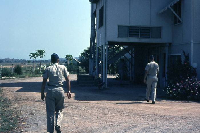
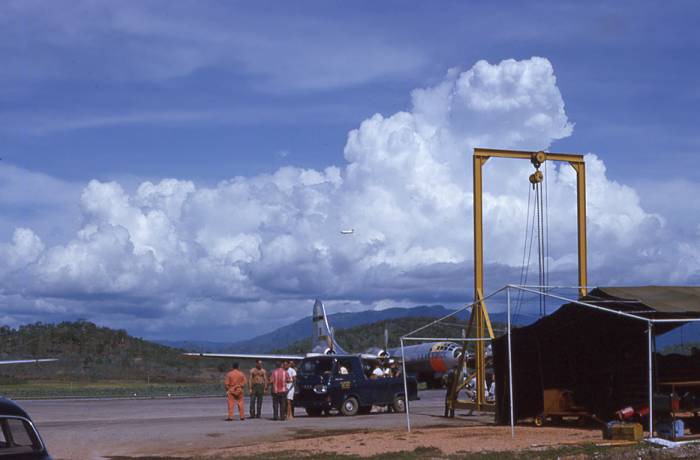
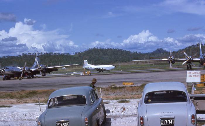
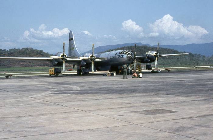
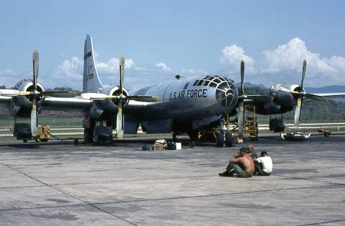
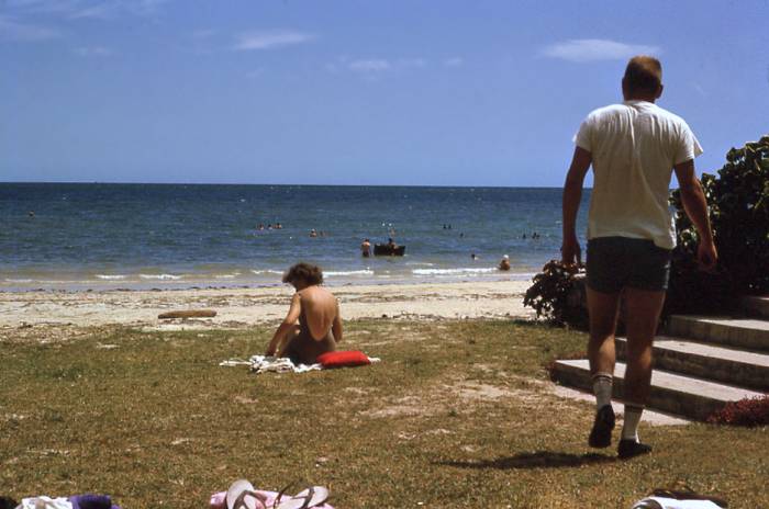
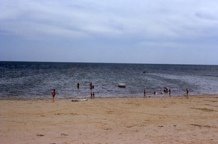
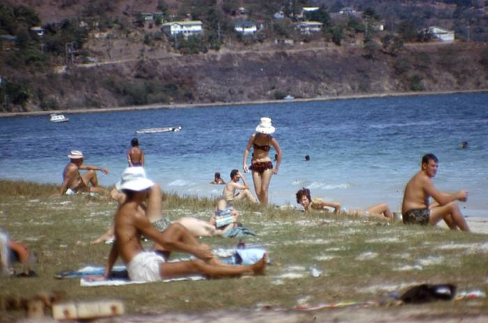
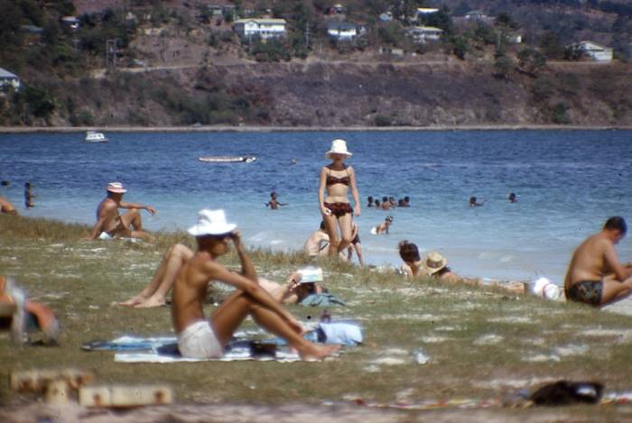
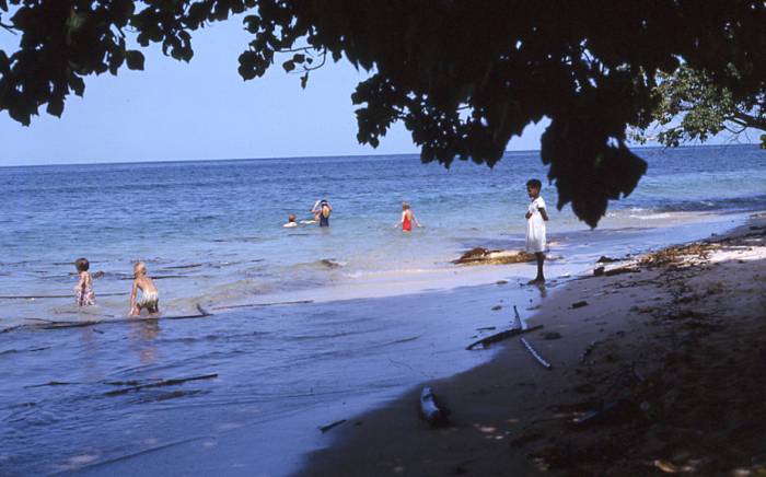
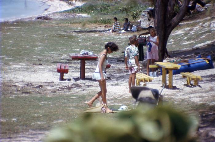
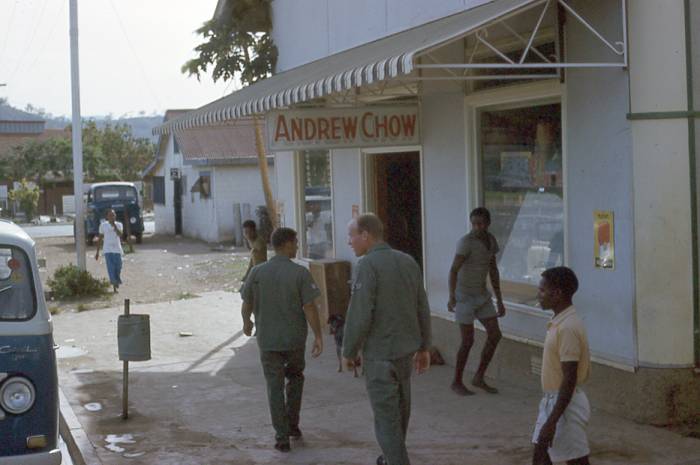
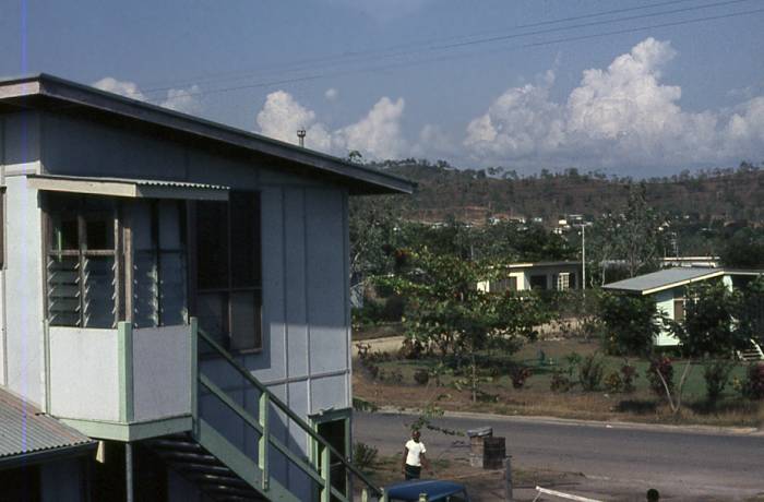
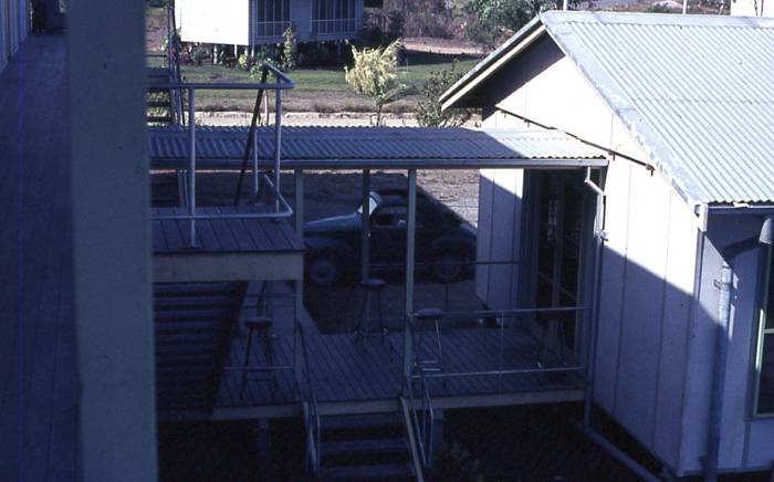
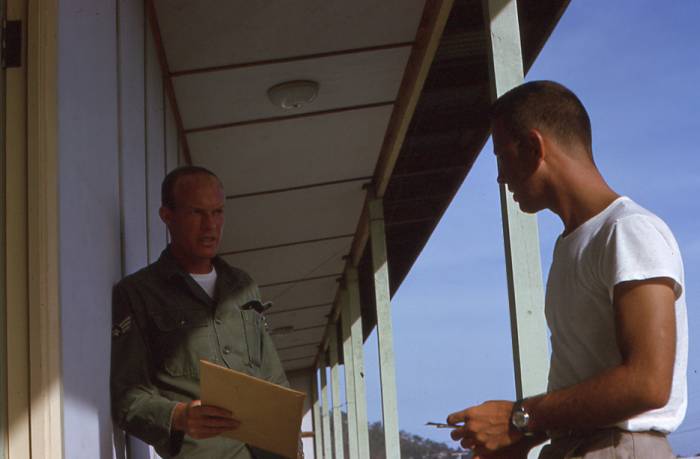
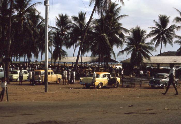
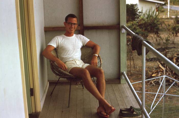
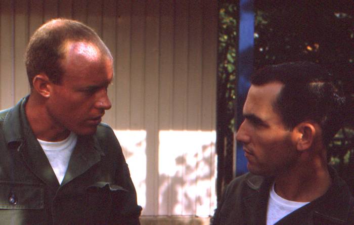
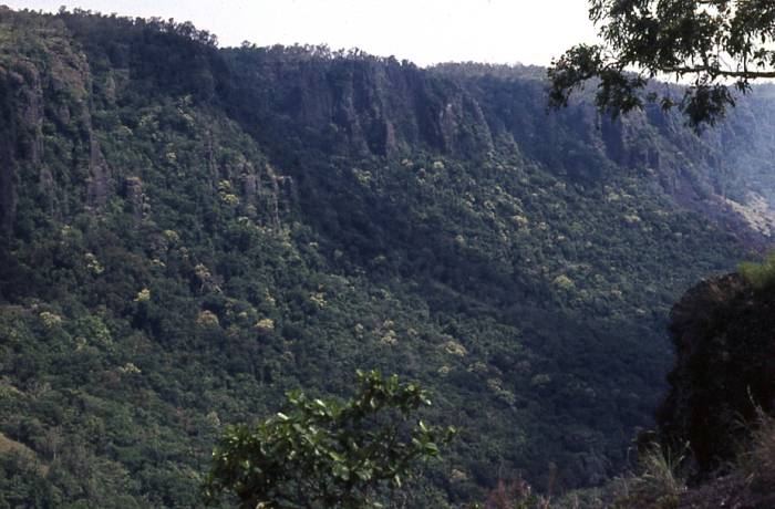
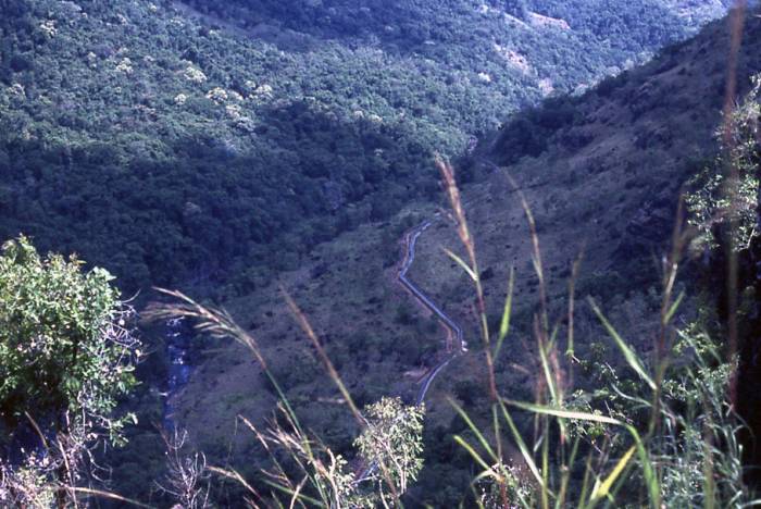
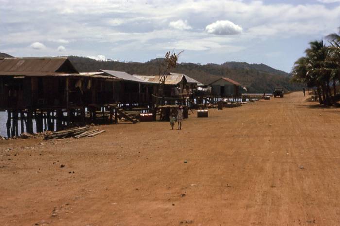
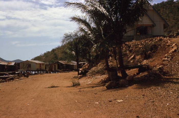
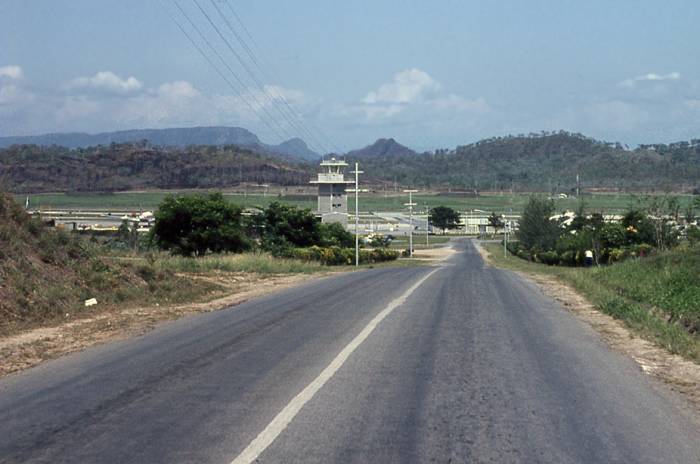
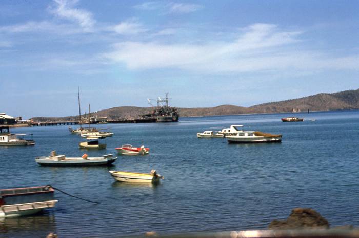
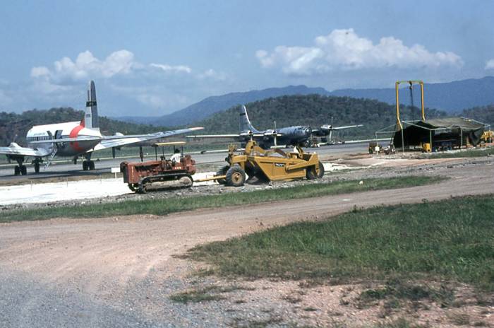
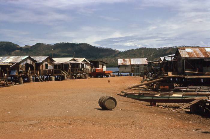
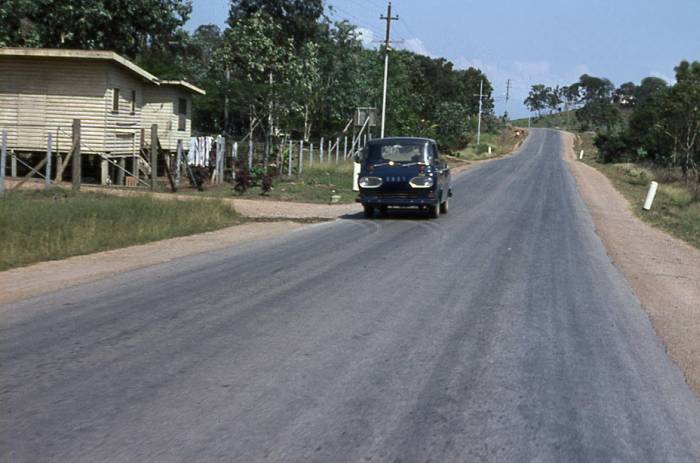
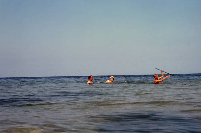
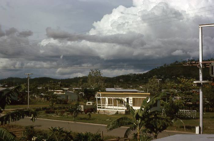
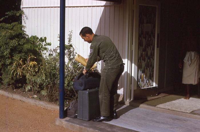
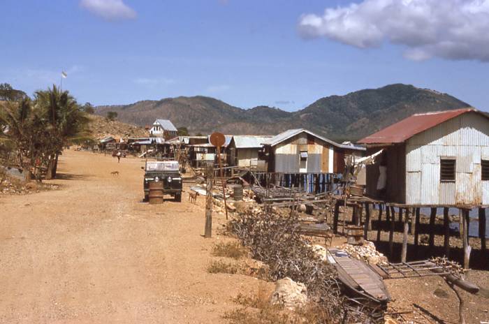
Port Moresby Part 2, Papua, New Guinea in 1963, we were providing upper air weather support to the 1370th Photo Mapping Wing, Aerial Survey Team 7 (AST7) for the photo mapping of the Western Pacific. Port Moresby was the administrative and commercial capital of the combined Territories of Papua and New Guinea and sits on the southern coast of Papua. I was here for two months, residing at the hotel before flying to Wewak on the northern coast. The Air Force had over a hundred personnel here because operation and the flights for the photo mapping originated at the airport. The Aussies were very accommodating and friendly to us GIs and it was a great stay.
|
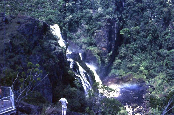
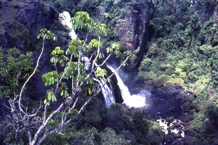
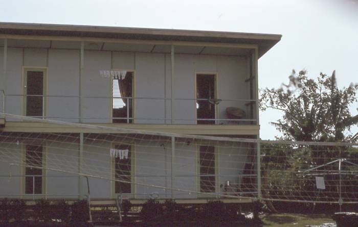
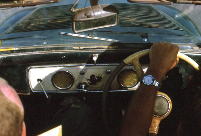
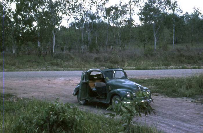
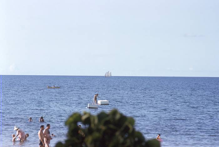
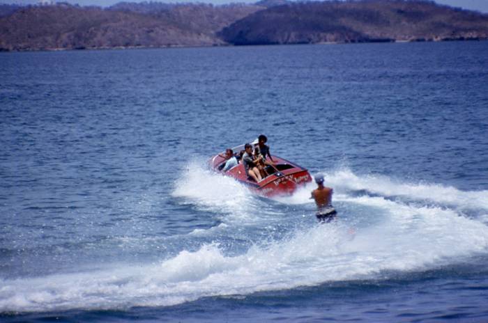
AST-7 ~ Photo Mapping '63 ~ Port Moresby Pictures on this page taken by Doug Wilson, my housemate at Wewak for three months. Click on picture to enlarge, Click on Browser's Back Arrow to return. |
|||
 |
 |
 |
|
 |
 |
 |
 |
 |
 |
 |
 |
 |
 |
 |
 |
 |
 |
 |
 |
 |
 |
 |
 |
 |
 |
 |
 |
 |
 |
 |
 |
 |
 |
 |
 |
 |
 |
 |
 |
 |
 |
 |
 |
 |
 |
 |
 |
 |
 |
 |
 |
![]()